Watershed Terrestrial Monitoring & Land Use

Section Styles border
The Watershed and Land Use research area seeks to understand how human activity on land can affect places downstream, like our coral reefs. This work focuses on understanding how these processes work in the Virgin Islands so that we can do a better job of protecting both our home on the land and in the sea.
CONTENT LINKS
Watersheds in the USVI / Students / Additional Reading / David Hensley / Project Team
Watersheds in the
U.S. Virgin Islands
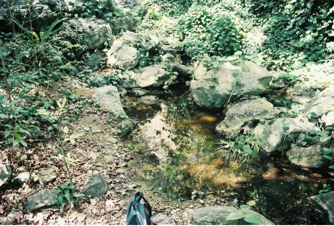
When water flows from ridge to reef, it flows through a watershed, which is an area of land that drains to one place such as the mouth of a river or a bay. That water itself is extremely important in a water-scarce place like the Virgin Islands where we deal with regular droughts, so we want to understand where it goes, and whether we can slow it down and keep more of it on the land for ourselves and for plants to use.
Sometimes, especially during storms, flowing water can travel very quickly carrying with it all kinds of potential pollutants, including sediments and dissolved chemicals. Our project focuses on beginning to understand how these processes work in the Virgin Islands and where watersheds can be hard to predict and harder to measure. This information will help us do a better job of protecting both our homes on land, and the sea we depend on as an island community.

Sediment samplers, like the one being pulled from Fish Bay Gut in this picture, capture flows of suspended sediment particles during flood events, allowing R2R researchers to collect the sample after the storm passes and analyze how much sediment arrived and where it came from. Photo: Brittany Lancellotti

A historic bridge over a gut on St. Croix. Photo by David Hensley
Our Research Goals
Our first goal was to monitor the flow of water to try to understand where there is water, when, how it moves, and why it is there. This is more difficult than it may sound because water often hides out of sight. During the dry season water is locked away in soil moisture or in groundwater, but when it begins to rain, this water starts to play a role in determining how much water flows through a gut, how fast it flows, and how long the gut stays running.
Unfortunately, little research on this topic existed in the Virgin Islands, so we have been learning many new things and have taken important first steps to better answer these important questions. Some of those steps include live monitoring of stream water levels, soil moisture, rainfall patterns and, we are even using webcams to track the flow of water from ridge to reef.
Our next important goal is to understand what is in the water that is flowing from ridge to reef. How much sediment is carried by the water, and where did the sediment come from? How far is it likely to travel during one storm event? Are there chemicals like nutrients that might cause imbalances in the marine ecosystem? We have made progress on this by responding in real time to heavy rain events, going into the field, and collecting samples of the water as it flows. We take these samples back to the lab to determine how much chemical and sediment is being carried by the flowing water towards the coast.

A St. John waterfall after tropical storm Fiona in 2022. Photo by David Hensley
During the extremely rainy wet season of 2022 which saw tropical storms and waves pass through the territory, we witnessed and collected data on the sudden change from extreme drought to flooding, almost overnight. Thanks to soil moisture data from the stream banks of our guts, we are now one step closer to being able to more accurately predict – and respond to – flooding like we saw that year. We also measured the flow of water through the guts, which helps us understand how much total water is moving downstream during a major event like Tropical Storm Fiona, for example.
This work provides important data for other researchers in the Ridge to Reef project and help us all understand just how many pollutants can actually enter the marine zone with a storm event of a given size. Although UVI researchers have already identified the problematic impacts of sediments and poor water quality on marine ecology, what we seek to better understand now is – What does it actually take, in terms of a watershed and a rain event, for significant pollution to reach the sea? and When it does, what is it carrying with it?
We originally began our work focused on two study watersheds to begin to understand the dynamics that are at work. Now that we have a better sense of how the whole watershed works, and how pollutants move from the ridge to the reef, we are hoping to expand our monitoring to many of the largest and most important watersheds of the Virgin Islands, to better understand how watersheds across the islands might differ from each other.
“Our watersheds are our drainage system! Watersheds determine where rainfall flows downhill: where it is captured and stored, directed into the sea, and/or causes flooding.”
—Hilary Lohmann, Coastal Resilience Coordinator, DPNR

Alexander in his kayak during the POCIS chemical sampler deployment. Photo by D. Hensley
Our student partners
We are particularly proud of the students who work with the Watershed and Land Use Team. These dedicated young people are making major contributions to our research efforts.
N’Bari Alexander, UVI undergraduate student, has processed the mangrove sediment collections and sediment source tracking samples that will allow us to answer the question on all of our minds – How much sediment might be moving from ridge to reef? and Where it is all coming from?
Meanwhile Race Stryker, MMES student, is completing his thesis experiment on vegetative buffers to hold back runoff and sediment along roadways and in other vulnerable areas. His results, which he was able to get from an experiment he largely designed and built himself, are providing us with the evidence that we need to understand that sediment in large quantities most likely never come from large, vegetated land areas that are left to natural vegetation. Instead, he has produced evidence that bare soils, even on lightly sloping land, can become huge gullies washing major amounts of sediment downstream within just a few minutes of a major storm event affecting the watershed. This kind of rigorous evidence is exactly the kind of supporting information we need to help us make sense of the results of our watershed monitoring – to answer the fundamental questions about what is happening from ridge to reef. The progress both our students have made into becoming more mature researchers is what the EPSCoR program is all about – kudos to both of them.

Stryker looking out over Fish Bay watershed. Photo by D. Hensley
Additional Reading


David Hensley
Project Lead
As a researcher at the University of the Virgin Islands’ School of Agriculture, I take special interest in how soil and water interact in the Virgin Islands in so many important ways in our everyday lives. Soil and water are both precious resources we have to conserve: we rely on these to produce our food, to have clean water to drink, to have safe places to build our homes, to support the beautiful natural environment that we call home, and so much more.
The Ridge to Reef project, and the Watershed and Land Use team, are helping answer some of the critical questions we in the Virgin Islands need to know about our land and water system. I feel particularly honored that I am able to be an interdisciplinary link between our colleagues in the Center for Marine and Environmental Studies and the School of Agriculture. The Ridge to Reef project is proof that, especially when it comes to soil and water, we have a lot of common interests to investigate together.
Section Styles background
Meet the team
Dr. Brittany Lancellotti, Post Doc.

I’m currently a postdoctoral research associate on the Watershed and Land Use Team within VI EPSCoR’s Ridge to Reef project. I have a background in riparian soil nutrient cycling, water quality, and wastewater treatment. Here in the U.S. Virgin Islands, I research intermittent streams (or ‘guts’) within the U.S. Virgin Islands to better understand their role in the transport of pollution from land to sea. Guts only flow after significant rainfall events, but when water moves from the landscape to the sea, it picks up sediment and contaminants that can disturb the nearshore marine environment. Since gut flow is so sporadic, it’s very tricky to assess how much water they carry to the nearshore environment and what the quality of that water is like. Therefore, very little is known about gut water quality and stream flow patterns in the U.S. Virgin islands. My research focuses on expanding this knowledge through water quality monitoring on St. Croix, St. Thomas, and St. John.
Project Support
-

Race Stryker
UVI Master of Marine and Environmental Studies Student
-

N’Bari Alexander
UVI Master of Marine and Environmental Studies Student
-

Sabrina Sorace
UVI Master of Marine and Environmental Studies Student
-

Julene Chapman
Administration